Difference between revisions of "IOTC Area Predictive analysis"
From D4Science Wiki
(→Approach) |
(→Approach) |
||
| Line 16: | Line 16: | ||
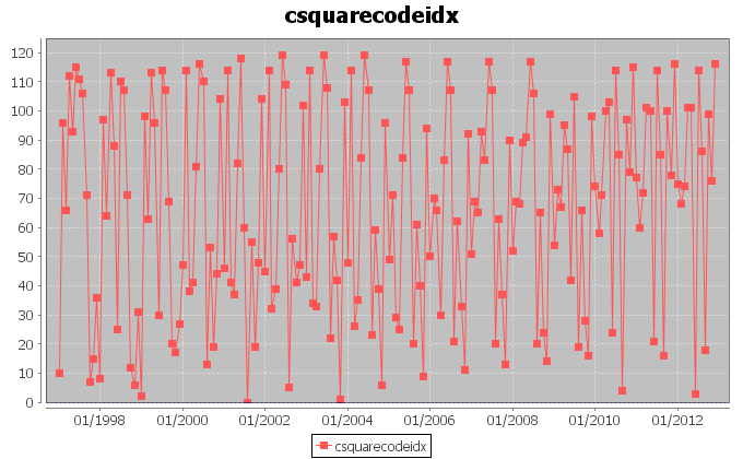
[[Image:barycentercsquares.png|frame|center|Distribution of the presence of vessels on 1 degree csquares, in the entire period January 1997-December 2012]] | [[Image:barycentercsquares.png|frame|center|Distribution of the presence of vessels on 1 degree csquares, in the entire period January 1997-December 2012]] | ||
| + | |||
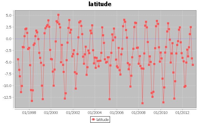
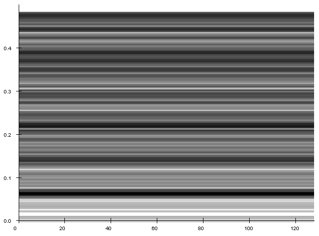
| + | [[Image:barycenterspectrogramlatitude.png|frame|center|Spectrogram for the latitude trend.]] | ||
| + | |||
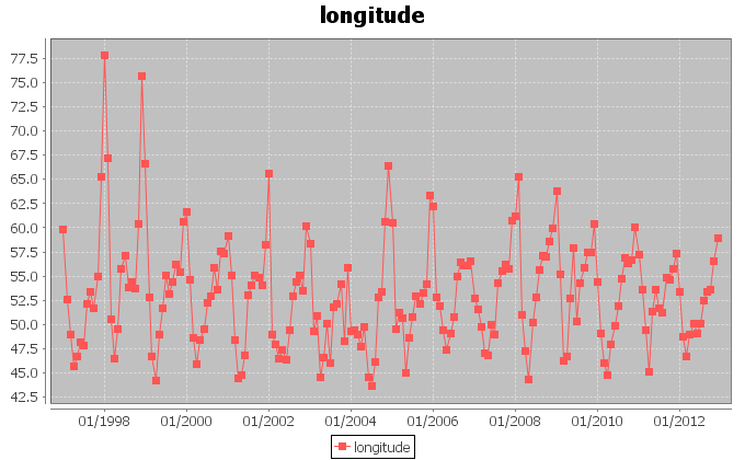
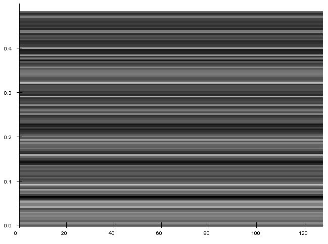
| + | [[Image:barycenterspectrogramlongitude.png|frame|center|Spectrogram for the longitude trend.]] | ||
| + | |||
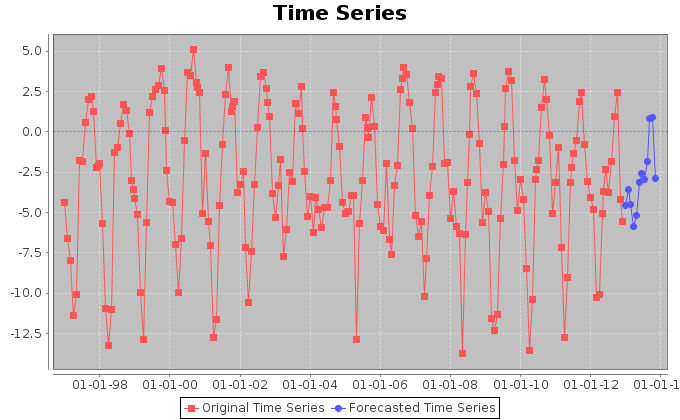
| + | [[Image:barycenterforecastlatitude.png|frame|center|Forecasted trend for latitude.]] | ||
| + | |||
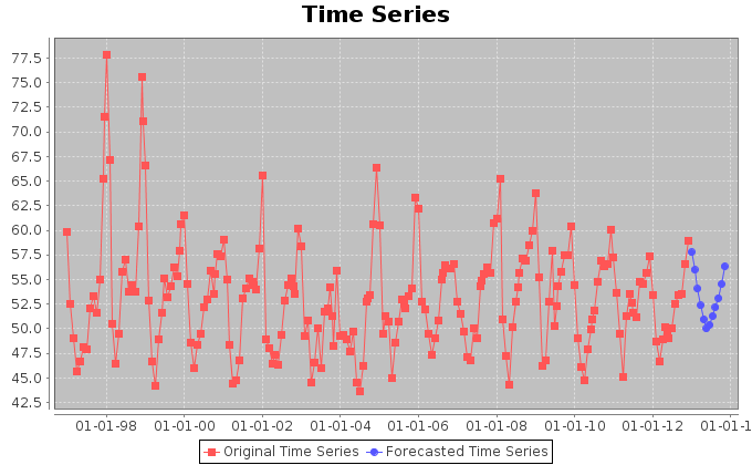
| + | [[Image:barycenterforecastlongitude.png|frame|center|Forecasted trend for longitude.]] | ||
| + | |||
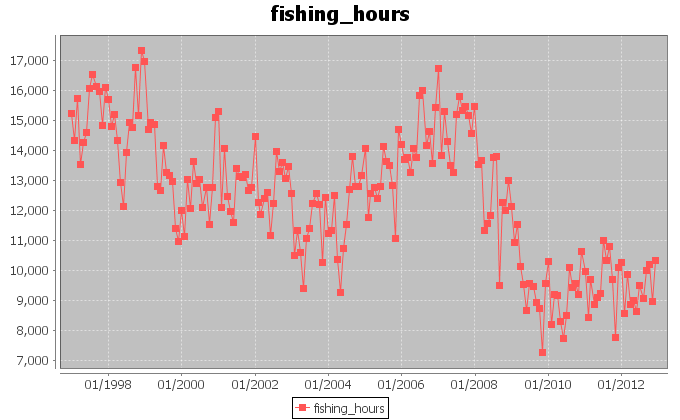
| + | [[Image:barycentereffort.png|frame|center|Forecasted trend for fishing hours.]] | ||
